
The Zierenberg Watchtower
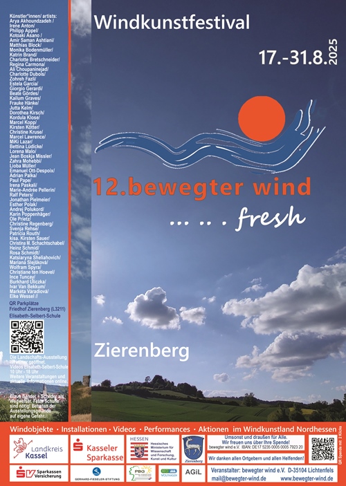
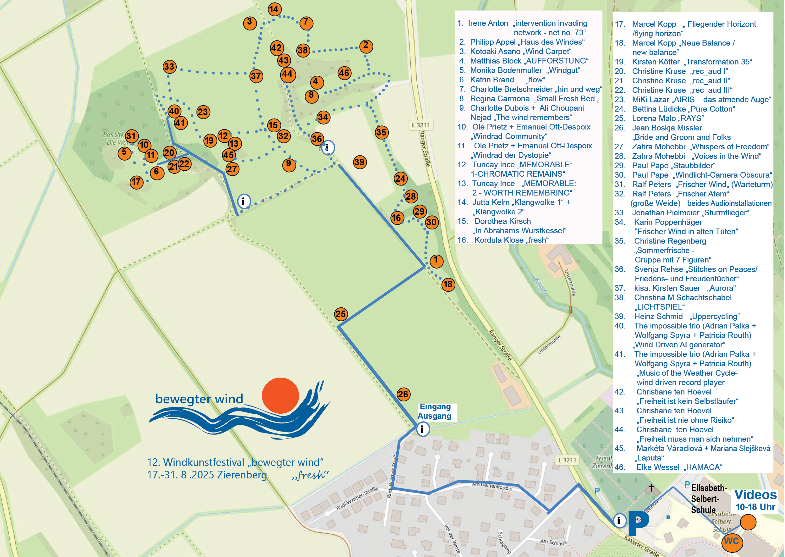
The 12th Wind Art Festival ‘bewegter wind’ (moving wind) will take place this year in Zierenberg on the site around the Zierenberg Watchtower. The exhibition grounds are well signposted. The paths leading there are marked with blue ribbons. Parking spaces are available at the Zierenberg Cemetery on Ranger Street and at the Elisabeth Selbert School.
The exhibition grounds are well signposted. The paths leading there are marked with blue ribbons. Parking spaces are available at the Zierenberg cemetery on Ranger Str. and at the Elisabeth Selbert School, Zum Steinborn 1, Zierenberg (except on 19 and 20 August 2025, in the mornings).
From the car parks, the exhibition route leads to the Zierenberger Warte. The video contributions will be shown in the gymnastics room of the Elisabeth Selbert School, daily from 10 a.m. to 6 p.m. Link to the video room: https://maps.app.goo.gl/3iZ5f25FEsNu7X846
QR code from the cemetery car park:

Zierenberg is nestled in the Habichtswald Nature Park between the Dörnberg (578 m) in the east and the Bärenberg (601 m) in the west, only 20 km from the Documenta city of Kassel in the Warme Valley.
Around 6,600 inhabitants live in the town and its districts of Burghasungen, Escheberg, Hohenborn, Laar, Oberelsungen and Oelshausen. The town, with a history stretching back 725 years, was founded around 1293 by Landgrave Heinrich I of Hesse as a fortress and administrative centre to secure his rule in the upper Warme Valley.
The watchtower is located in Zierenberger Grund, a natural area in the Habichtswald depression, and in the Habichtswald Nature Park. It stands 1.2 km north-west of the centre of Zierenberg, 900 m east-south-east of the Zierenberg hamlet of Friedrichsaue and 1.5 km south-south-west of the Zierenberg farmstead Rangen.
The round tower made of basalt stone dates back to the Middle Ages. It served as a lookout post to warn the population of enemy attacks.
The summit is covered with dry and semi-dry grassland and woodland. Its north-western slope features an abandoned and overgrown basalt quarry. The landscape slopes down to the Warme river in the east; the Kringelbach stream flows past to the north-west and north, joining the Warme in the north-east.
https://www.stadt-zierenberg.de/tourismus/tourismus/informationen/
https://de.wikipedia.org/wiki/Zierenberger_Warte
")